Surveying and mapping is technologically advanced which relies on computer technology, optoelectronic technology, network communication technology, space science, and information science. The core technologies of it are Global Navigation Satellite System (GNSS), Remote Sensing (RS), and Geographic Information System (GIS). It is a process of measuring, collecting, and mapping the shape, size, spatial position, and attributes of the natural geographical elements or man-made surface facilities.
Main Sub-disciplines
Geodesy: Examines and quantifies the earth’s shape, size, model of the earth, and the positions of places on the ground.
General Surveying: Deals with the theories and methods of control surveying and topographic map mapping within small areas of the Earth’s surface.
Photogrammetry: It starts with the earth's surface image taken by a camera and later, the measurement and mapping are performed according to the image.
Engineering Surveying: Studying various survey works performed during a project's phases: the preparation of the survey and design, construction, and management of operation.
Marine Surveying and Mapping: The measuring and mapping of natural geographical elements and human geographical elements in the ocean is what this is all about.
Map products are visual representations of the spatial distribution, relations, and transformations of various things on the Earth. They are made based on certain mathematical principles, using the language of cartography and through cartographic generalization on a particular carrier
Main Types
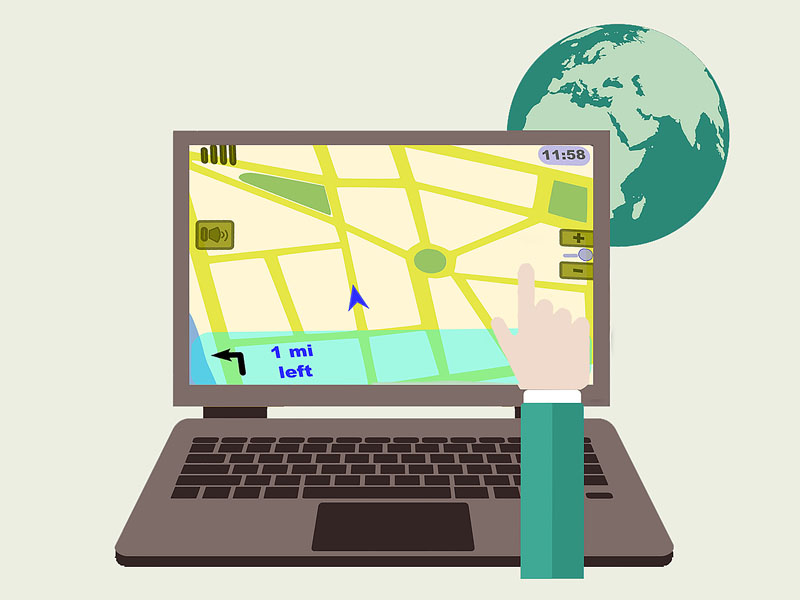
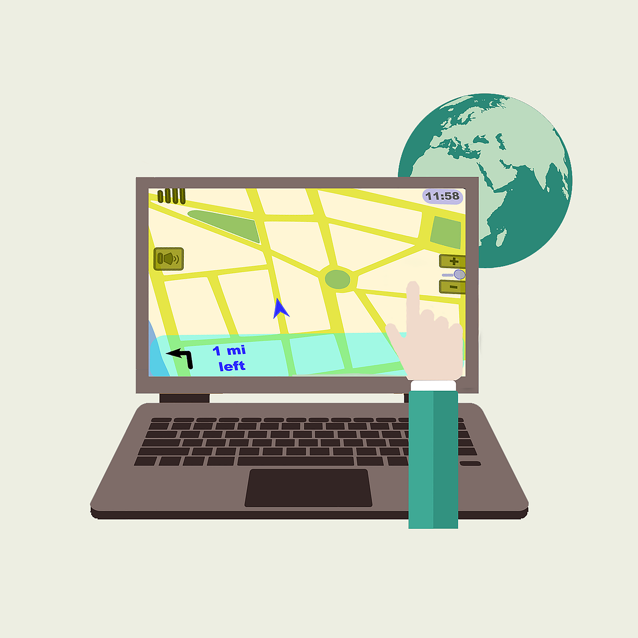
Navigation Maps: Include data of the road network that covers the whole country and information on the Point of Interest (POI) which are the main sources of functions like searching, showing, and routing for the simple navigation scenarios.
High-Precision Maps: Are mainly oriented to autonomous driving scenarios and have features that allow for accuracy up to the centimeter level. With such precision and greater detail, it is possible to characterize roads, lanes, roadside facilities, and ground markers more accurately and also more thoroughly.
Assisted Driving Maps: Help Level 2 (L2) assisted driving features such as Adaptive Cruise Control (ACC), curve warning, and intelligent headlight assistance.
Parking Lot Maps: Are equipped with functionalities such as guidance for finding parking spaces, reverse car search, querying parking lot layout, and valet parking solutions for intelligent vehicles besides tasks like parking space guidance and the rest.
Functional Features
Map products play different roles such as information carriers, facilitators of transmission, simulators of objective reality, and spatio-temporal recognition tools. They make it possible for human beings to find out the spatial positions of the natural and man-made elements, to get the qualitative and quantitative characteristics of objects, and to establish spatial information relationships between features. At the same time, they serve as the primary data sources for the likes of intelligent driving and automatic robot inspection.
FAQ – Frequently Asked Questions
1. When and where will the Expo be held?
The Expo is scheduled for 13–15 May 2026 at Hall C, Xiamen International Conference and Exhibition Center (XICEC), Xiamen, China.
2. What is the exhibition scale?
It's a 40,000 m² event with 350+ exhibitors and more than 30,000 professional visitors from all over the world.
3. What activities are included?
Over 80 professional forums and events will be held to study the topics of smart mobility, transportation communication, safety, and sustainable development.
4. How many countries and regions are involved?
The summit will feature participants from 80+ countries and regions, making it a global meeting place for smart transportation innovation.
5. Are there opportunities for cooperation?
Yes. The fair with more than 1,000 worldwide partners is full of opportunities for business cooperation, technology exchange, and investment.
6. Who can I contact for details?
For more information, please contact the Organizing Committee via the 'Contact Us' section on the official website.