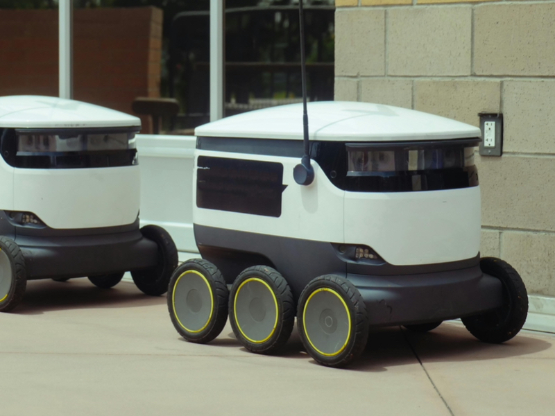
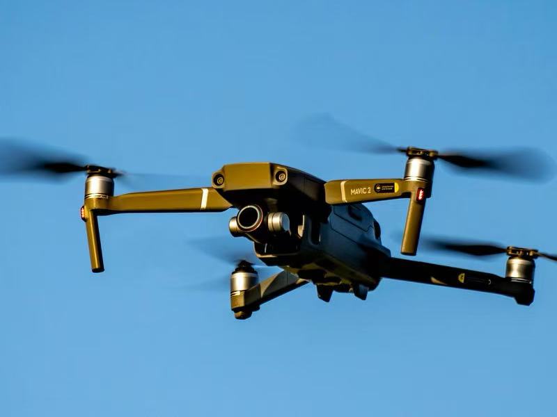
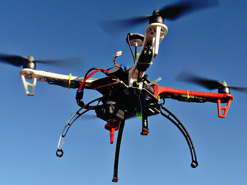
The low-speed unmanned multi-functional equipment is a crucial element of the future intelligent transportation systems. Unmanned logistics vehicles, intelligent autonomous navigation-equipped ground platforms, and UAV (drone) systems working in a coordinated manner are the main components of this category. These systems, which are equipped with a combination of high-definition cameras, infrared sensors, positioning modules, and wireless communication technologies, allow for the seamless interaction of perception, decision, and execution in complex transportation and city environments.
From the perspective of data acquisition, UAVs equipped with high-resolution cameras and other imaging devices are deployed to fly over assigned areas and record real-time scenes of the roads, cars, people, and the surrounding infrastructure. On the other hand, low-speed unmanned logistics vehicles that are operating in a certain area continuously gather environmental data from the ground level while performing normal daily tasks. All the gathered data are subjected to image and video preprocessing treatment such as noise removal and contrast improvement to make the data continue to be of high quality for further analyses. The visual features that are deemed important such as the edges, contours, and spatial markers are detected and then subjected to deep learning algorithms whereby they become the technical basis for intelligent autonomous navigation, route planning, and operational decision-making.
Low-speed unmanned multi-functional equipment can perform as a highly coordinated system within intelligent transportation scenarios. Through UAV monitoring, one can know the traffic congestion, vehicle flow, and speed distribution in real-time. At the same time, unmanned logistics vehicles are adjusting their routes dynamically with the help of intelligent autonomous navigation to avoid the traffic congested places. When it comes to responding to traffic incidents, a UAV system is the fastest to get onsite where it can transmit live video and can quickly pinpoint the critical locations. At the same time, unmanned logistics vehicles can come in handy in emergency operations as they can transport supplies, tools, or inspection equipment thus greatly enhancing the efficiency of the response and the awareness of the situation.
The technologies in question also extensively cover the applications of traffic regulation monitoring, road condition assessment, and infrastructure inspection. Unmanned aerial platforms give a bird's eye view for spotting the unauthorized parking of vehicles, the abnormal behavior of the drivers, and also the damages of the roads and the risks of the structures of the bridges or tunnels. The unmanned logistics vehicles serve as a complement to the aerial data when they are working at the close-range inspections and the ground verifications thereby laying the foundation of an integrated air–ground inspection framework. Unmanned logistics vehicles (ULVs) in supported by intelligent autonomous navigation collaborate with the UAV delivery systems to complete the last-mile delivery of goods, thus ULVs achieve the final step of distribution while at the same time they are achieving the reduction of labor dependency and operational costs.
In comparison with manual or fixed monitoring solutions, low-speed unmanned multi-functional equipment is more mobile, can produce results faster, and is capable of intelligent data processing. Nevertheless, it is still not quite at a level where it can do without any human assistance. The main issues being, the difficulties of endurance optimization and system stability as well as large-scale data transmission and regulatory compliance. In order to facilitate safe, reliable, and compliant deployment, it is necessary to have constant development in battery technology, autonomous navigation algorithms, and data governance frameworks.
To sum up, integrating the application of UAV technology, unmanned logistics vehicles, and intelligent autonomous navigation revolutionizes intelligent transportation and urban mobility. As the scale of deployment increases and technical maturity grows, the low-speed unmanned multi-functional equipment will be continuously contributing to transportation efficiency, operational safety, and service intelligence, thus becoming an indispensable capability of CITSE-oriented smart mobility ecosystems.
FAQ – Frequently Asked Questions
1. Where and when will the Expo be held?
The event will take place days from May 13 to 15, 2026. Furthermore, the place of the event will be the Xiamen International Conference and Exhibition Center (XICEC), Xiamen, China, and the exact location is Hall C.
2. What is the size of the exhibition?
The place of the event will be about 40,000 m². The main topic of the event will be 350 companies. Besides, the event also has the ambition to draw at least 30,000 professional visitors from different parts of the world.
3. What kind of sports are there?
The organizing committee is prepared to organize more than eighty expert boards and activities. Moreover, they will discuss such topics as intelligent mobility, communication in transportation, safety, and sustainable development.
4. How many countries and regions are there?
Smart transportation could be a world summit where representatives of more than eighty different countries and regions are invited.
5. Cooperation possibilities exist, right?
We couldn't be more in agreement! The event, which consists of more than 1,000 global partners, is an excellent point where business cooperation, technological exchange, and investment exploration can happen.
6. Who can I talk to for the info?
Suppose you want to get even more facts than this. In that case, you may talk with the Organizing Committee via the "Contact Us" segment at the official website.